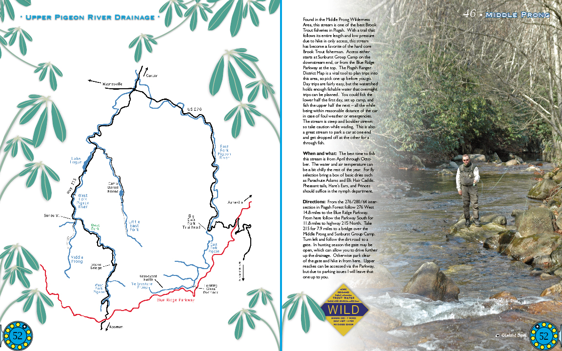
Labels:book | earth | map | person | plant | river | road | rock | sky | tree | water OCR: UPper PIGEON River DRAINAGE Found in the Midde Prong Wideme MID DLE PRONG irea thi best Brool sheries in Pi Wih a trail that ntire ength an rezure hike onh this stream har Trou fcherman icces eithe tarte atSunburst Groo n th Ride The Pisgah Ranger Distric Map is vitaltoo to plan trips so pic youg K'ayrsville Day rips are fairly easy waterhec holl nough ihable bnned coul fis Xepasy set up camp pOe half the eX all the whil US270 able emergencies teepand boule strewt vadins This par one oroed off When pue what The heat fom Apri through Octo rg.a emperatur dri such Uanan Hare Ears, Princes nympl deparemen: Directions Fron th 276/280/64 inter section in Pisgah Forest follow 276 West 5unou 148mile tothe Rilee Parswa blow the Parkway South for U8mile highwa 215 Vorth Take mile brida over Mddk ron ...